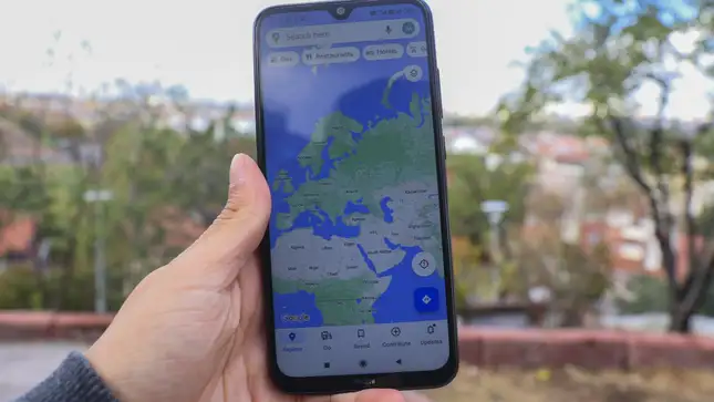
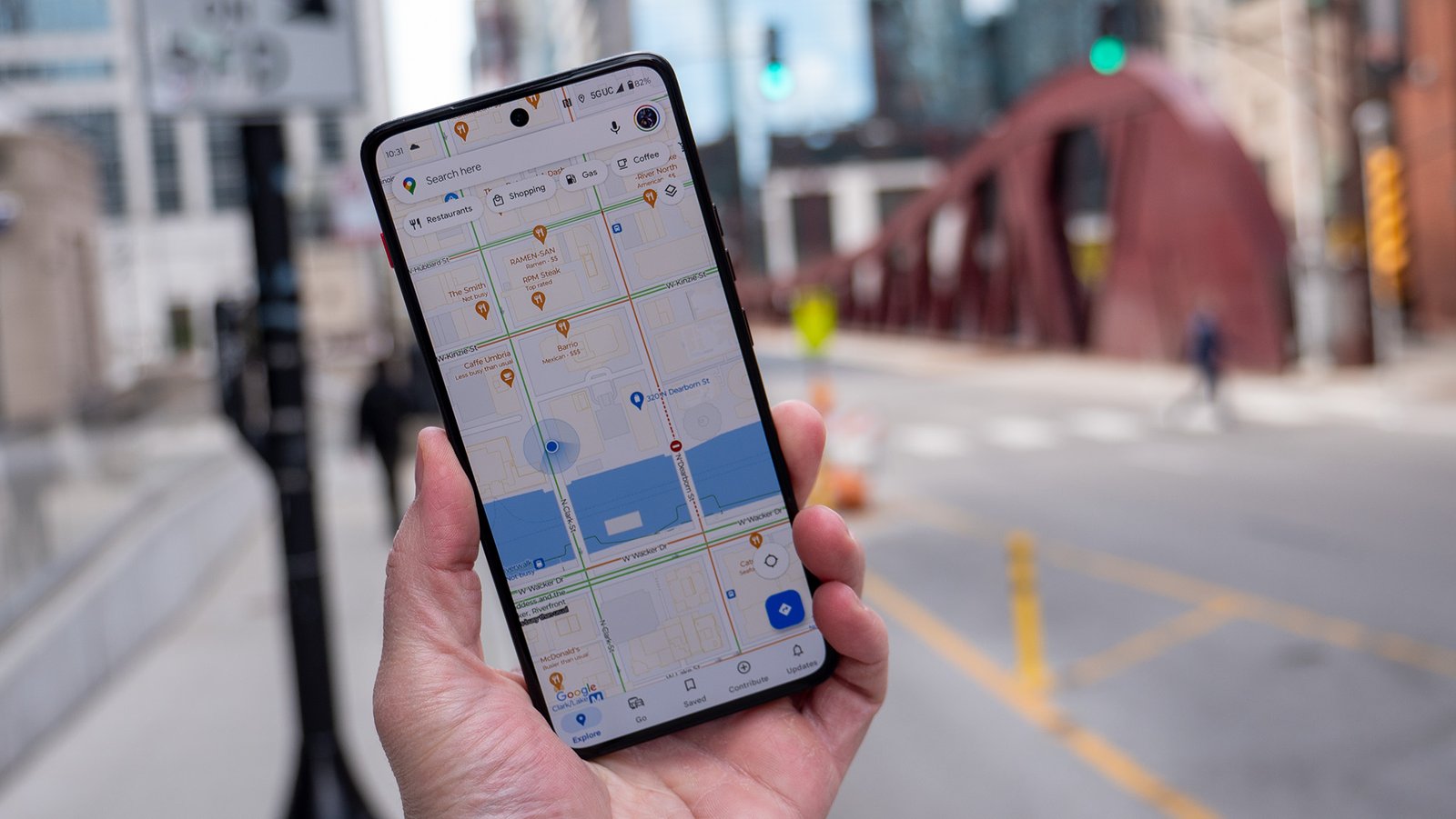
Location-based apps have become increasingly popular, offering users personalized and context-aware services. Integrating Google Maps with JavaScript enables developers to create rich, interactive location-based applications. This guide will walk you through the process of building a location-based app from scratch, leveraging the power of Google Maps and JavaScript to provide dynamic and engaging user experiences.
Introduction
Location-based apps use geographical data to provide services or information relevant to a user’s location. Examples include navigation apps, delivery services, and travel guides. By integrating Google Maps with JavaScript, you can build an app that not only displays maps but also interacts with real-time location data, offers routing, and provides location-specific information.
Setting Up Your Project
To get started, set up your project with the necessary tools and dependencies.
- Obtain an API Key:
- Sign up on the Google Cloud Platform and create a new project.
- Enable the Google Maps JavaScript API for your project.
- Generate an API key and restrict it to your domain for security purposes.
- Include the API Script in Your HTML:
- Add the Google Maps API script to your HTML file.
html
<html>
<head>
<title>Location-Based App</title>
<script src="https://maps.googleapis.com/maps/api/js?key=YOUR_API_KEY"></script>
<style>
#map {
height: 100%;
width: 100%;
}
html, body {
height: 100%;
margin: 0;
padding: 0;
}
</style>
</head>
<body>
<div id="map"></div>
<script>
function initMap() {
var options = {
zoom: 12,
center: { lat: 40.7128, lng: -74.0060 } // New York City
}
var map = new google.maps.Map(document.getElementById('map'), options);
}
</script>
</body>
</html>
Adding User Location Tracking
A key feature of location-based apps is the ability to track and display the user’s current location.
- Get User Location:
- Use the Geolocation API to get the user’s current position.
javascript
if (navigator.geolocation) {

navigator.geolocation.getCurrentPosition(function(position) {

var userLocation = {

lat: position.coords.latitude,

lng: position.coords.longitude

};

// Initialize the map centered on the user's location

var map = new google.maps.Map(document.getElementById('map'), {

center: userLocation,

zoom: 12

});

// Add a marker at the user's location

var marker = new google.maps.Marker({

position: userLocation,

map: map,

title: 'You are here'

});

});

} else {

alert("Geolocation is not supported by this browser.");

}
Adding Interactivity with Markers and Info Windows
Markers and info windows can provide additional context and interactivity for your app.
- Add Markers:
- Enhance the map by adding markers for various points of interest.
javascript
function addMarker(coords, map, title) {

return new google.maps.Marker({

position: coords,

map: map,

title: title

});

}var locations = [
{ lat: 40.7128, lng: –74.0060, title: ‘New York City’ },
{ lat: 40.730610, lng: –73.935242, title: ‘Brooklyn’ }
];
- Add Info Windows:
- Provide detailed information with info windows that appear when users click on markers.
javascript
function addInfoWindow(marker, content) {

var infoWindow = new google.maps.InfoWindow({

content: content

});infoWindow.open(marker.get(‘map’), marker);
});
}
locations.forEach(location => {
var marker = addMarker(location, map, location.title);
addInfoWindow(marker, `<h3>${location.title}</h3><p>Some description about ${location.title}.</p>`);
});
Implementing Routing and Directions
Routing and directions are essential for navigation and delivery apps.
- Initialize Directions Service and Renderer:
- Use the Directions API to calculate and display routes.
javascript
var directionsService = new google.maps.DirectionsService();

var directionsRenderer = new google.maps.DirectionsRenderer();var map = new google.maps.Map(document.getElementById(‘map’), {
center: { lat: 40.7128, lng: –74.0060 },
zoom: 12
});
directionsRenderer.setMap(map);
}
var request = {
origin: start,
destination: end,
travelMode: ‘DRIVING’
};
directionsService.route(request, function(result, status) {
if (status == ‘OK’) {
directionsRenderer.setDirections(result);
}
});
}
navigator.geolocation.getCurrentPosition(function(position) {
var userLocation = { lat: position.coords.latitude, lng: position.coords.longitude };
var destination = { lat: 40.730610, lng: –73.935242 }; // Example destination
calculateRoute(userLocation, destination);
});
Adding Search and Filter Capabilities
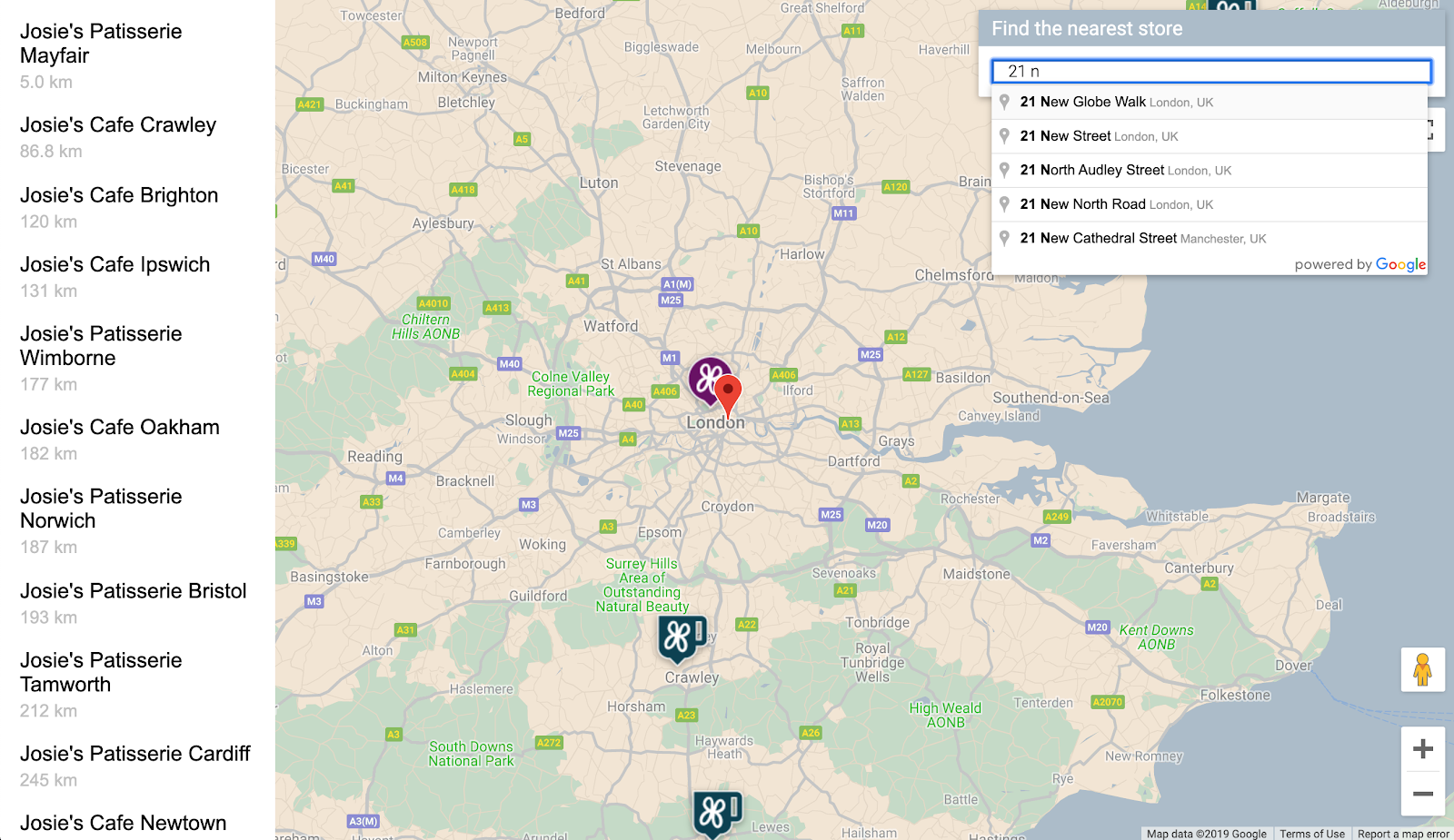
Allow users to search for specific locations and filter results based on criteria.
- Implement Search Box:
- Use the Places API to add a search box for finding places.
html
<input id="search-box" type="text" placeholder="Search for places...">

<script>

var input = document.getElementById('search-box');

var searchBox = new google.maps.places.SearchBox(input);

map.controls[google.maps.ControlPosition.TOP_LEFT].push(input);var places = searchBox.getPlaces();
if (places.length == 0) {
return;
}
var bounds = new google.maps.LatLngBounds();
places.forEach(function(place) {
if (!place.geometry) {
console.log(“Returned place contains no geometry”);
return;
}
addMarker(place.geometry.location, map, place.name);
if (place.geometry.viewport) {
bounds.union(place.geometry.viewport);
} else {
bounds.extend(place.geometry.location);
}
});
map.fitBounds(bounds);
});
</script>
Conclusion
Building a location-based app with Google Maps and JavaScript provides a powerful way to offer users personalized and interactive experiences. By leveraging the Google Maps API, you can create applications that track user locations, provide detailed information, and offer dynamic routing and search capabilities.
Next Steps
Continue exploring the Google Maps API documentation to discover more features and functionalities. Integrate other Google APIs, such as the Places API and Geocoding API, to enhance your app further. Experiment with different use cases and customizations to create unique and engaging location-based applications.


