In emergencies, finding the right services quickly can make all the difference. Google Maps is a powerful tool that can help you locate essential emergency services such as hospitals, police stations, and fire departments swiftly. Here’s how you can use Google Maps to get the assistance you need in urgent situations.
1. Search for Emergency Services
Start by searching for specific emergency services:
- Open Google Maps: Launch the Google Maps app on your smartphone or visit the website on your computer.
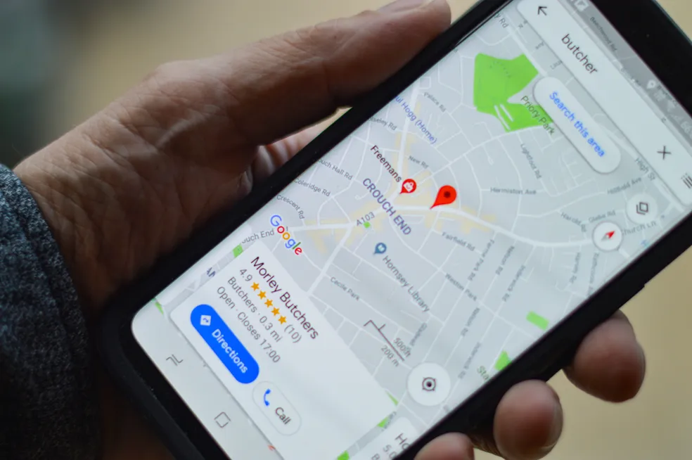
- Search for Services: Type keywords like “hospital,” “police station,” or “fire department” into the search bar. Google Maps will display a list of nearby facilities related to your query.
- Review Results: Examine the search results to find the nearest or most relevant service based on your location.
2. Use Location-Based Searches
Find emergency services based on your current location:
- Enable Location Services: Ensure that location services are enabled on your device so Google Maps can accurately determine your position.
- Search Nearby: Enter “near me” after the type of service you need (e.g., “hospitals near me”). Google Maps will show results within your vicinity.
3. Get Directions Quickly
Navigate to the emergency service with precise directions:
- Select a Service: Choose the facility from the search results that you want to visit.
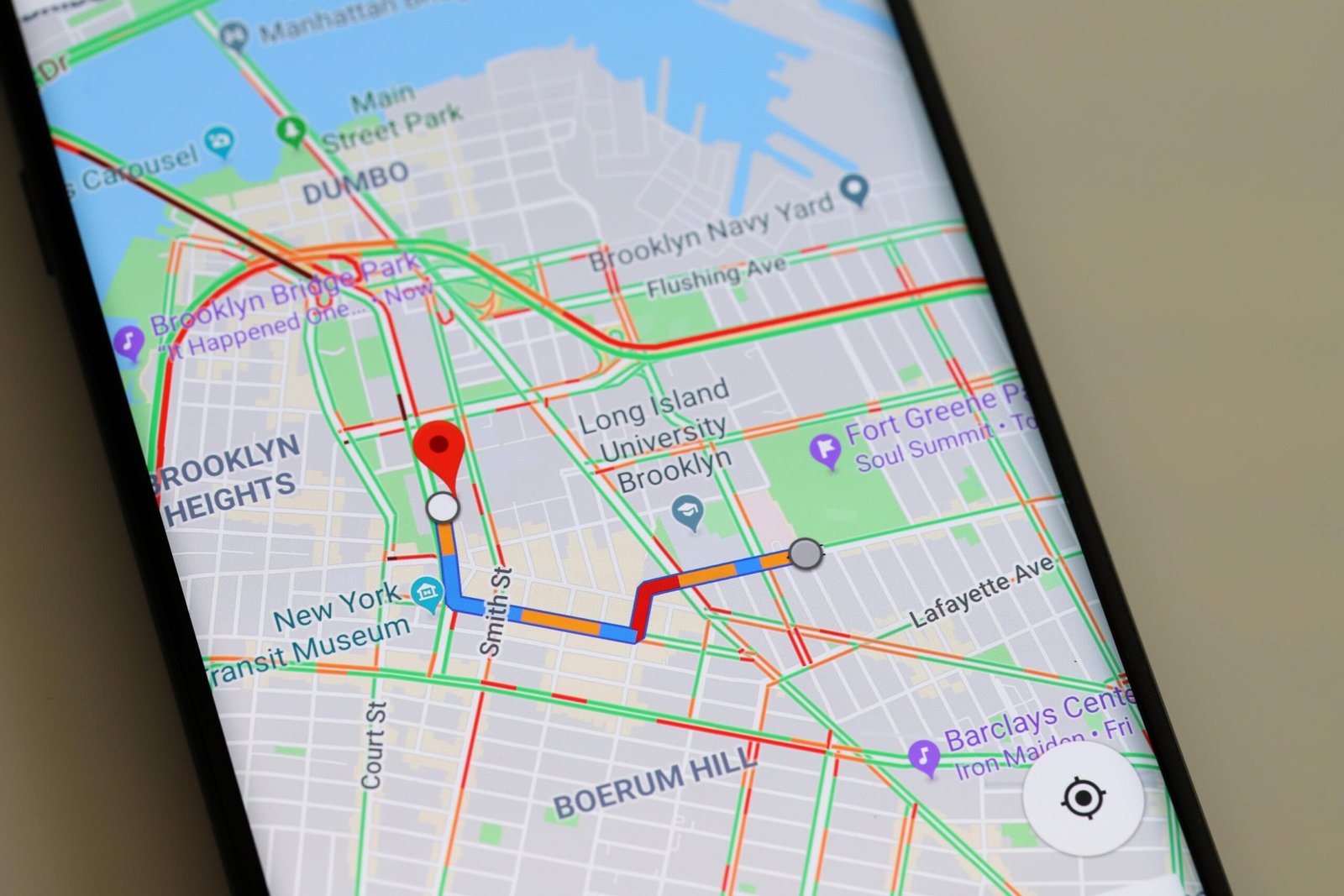
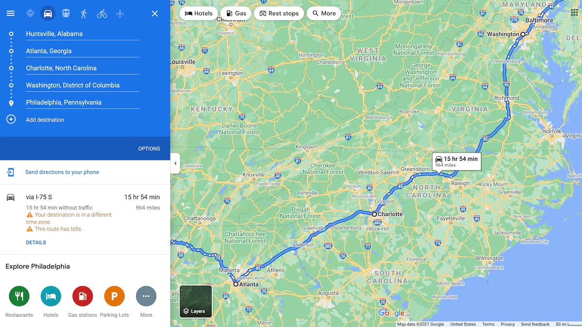
- Tap “Directions”: Click on the “Directions” button to get turn-by-turn navigation from your current location to the selected emergency service.
- Follow Navigation: Follow the provided route to reach the service efficiently. Google Maps will provide real-time updates on traffic conditions and estimated arrival times.
4. Check Facility Details
Verify important information about the emergency service:
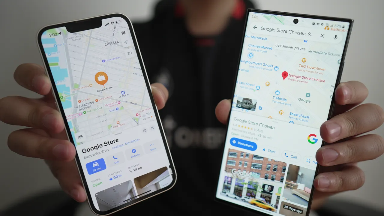
- View Facility Information: Click on the facility’s name to see details such as operating hours, contact information, and user reviews.
- Call Directly: Use the “Call” button to contact the facility directly for immediate assistance or inquiries.
5. Save Critical Locations
Save essential emergency services for quick access in the future:
- Save Locations: Tap “Save” on the facility’s details page and add it to a list for future reference (e.g., “Emergency Contacts”).
- Access Saved Locations: Quickly access your saved locations from the “Your Places” section in Google Maps.
6. Use Google Maps’ Emergency Features
Take advantage of Google Maps’ built-in emergency features:
- Emergency Button: On some devices, Google Maps has an emergency button or feature that can help you contact emergency services quickly.
- Report Issues: If you notice inaccurate information about an emergency service, you can report it to Google Maps to help improve accuracy for others.
7. Explore Nearby Amenities
Find nearby amenities that might be useful in an emergency:
- Search for Amenities: Use Google Maps to locate nearby amenities like pharmacies, gas stations, or convenience stores. This can be helpful if you need additional supplies or assistance.
8. Prepare for Emergencies
Plan ahead to be prepared for emergencies:
- Pre-Plan Routes: Familiarize yourself with the locations of nearby emergency services so you know where to go in case of an urgent situation.
- Create an Emergency List: Maintain a list of important contacts and emergency services in Google Maps for quick access during crises.
9. Utilize Offline Maps
Access emergency services even without an internet connection:
- Download Maps: Download maps of your area in advance for offline use. This ensures you have access to Google Maps and emergency service locations even if you lose connectivity.
10. Stay Calm and Efficient
In emergencies, staying calm is crucial:
- Follow Directions Carefully: Pay close attention to the navigation directions provided by Google Maps to ensure you reach the emergency service without unnecessary delays.
- Keep Your Phone Charged: Ensure your phone is fully charged to avoid running out of battery during an emergency situation.
Conclusion
Google Maps is an invaluable tool for locating emergency services quickly and efficiently. By using its search, navigation, and offline features, you can ensure you reach the assistance you need in urgent situations. For more information on using Google Maps, visit the Google Maps Help Center.
By familiarizing yourself with these tips, you’ll be better prepared to handle emergencies and find critical services with ease.


