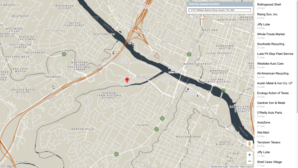
Google Maps Traffic Layer is a powerful tool that provides real-time traffic information to users, helping them navigate efficiently and make informed decisions. Explore how this feature enhances mapping experiences across various applications. Let’s give you applications of the Google Maps traffic layer.
What is Google Maps Traffic Layer?
Google Maps Traffic Layer is a feature that overlays current traffic conditions onto the map, displaying coloured lines to indicate the speed of traffic flow on roads. It helps users visualize congestion levels and plan routes accordingly.

Real-Time Traffic Updates
One of the standout features of Google Maps Traffic Layer is its ability to provide real-time updates on traffic conditions. By analyzing data from various sources such as GPS signals, smartphones, and historical traffic patterns, the Traffic Layer displays accurate information about traffic jams, accidents, and road closures.
Navigational Assistance
Integrate Google Maps Traffic Layer into navigation applications to offer users dynamic route planning based on current traffic conditions. The layer helps drivers avoid congested routes and provides alternative paths to reach their destinations efficiently.
Urban Planning and Infrastructure Management
City planners and transportation authorities use Google Maps Traffic Layer to analyze traffic patterns and make data-driven decisions for urban development. It assists in optimizing traffic flow, identifying areas needing infrastructure improvements, and enhancing overall city mobility.
Emergency Response and Public Safety
Emergency services utilize real-time traffic information provided by Google Maps Traffic Layer to respond promptly to incidents. It enables them to choose the fastest routes to reach emergency locations and manage traffic during critical situations.
Commuter Applications
Daily commuters rely on Google Maps Traffic Layer to plan their journeys to work or other destinations. By checking traffic conditions before starting their trips, commuters can save time and reduce stress associated with traffic congestion.
Integration with Business Services
Businesses integrate Google Maps Traffic Layer into their applications to provide location-based services and enhance customer experiences. It enables businesses to offer delivery estimates, optimize logistics, and improve operational efficiency.
Travel and Tourism
Tourists and travellers use Google Maps Traffic Layer to navigate unfamiliar cities and regions efficiently. By accessing real-time traffic updates, they can plan sightseeing routes, avoid traffic hotspots, and optimize travel itineraries for a smoother experience.
Personalization and User Preferences
Users can personalize their Google Maps experience by enabling or disabling the Traffic Layer based on their preferences. This flexibility allows individuals to focus on traffic information when needed or switch to other map views for different purposes.
Environmental Impact Assessment
Environmental researchers utilize traffic data from Google Maps Traffic Layer to study the impact of traffic on air quality, noise pollution, and carbon emissions. It aids in assessing environmental effects and developing strategies for sustainable transportation.
Traffic Visualization Tools
Developers leverage Google Maps Traffic Layer API to create custom traffic visualization tools for websites and applications. They can customize map displays, overlay additional data layers, and integrate traffic insights into innovative solutions for diverse industries.
Accessibility and Ease of Use
Google Maps Traffic Layer is accessible across various devices, including smartphones, tablets, and desktops. Its intuitive interface and user-friendly design ensure that users can easily interpret traffic information and make informed decisions.
Educational and Research Applications
Educators and researchers use Google Maps Traffic Layer to teach students about urban planning, transportation systems, and data analysis. It serves as a practical tool for studying traffic management strategies and exploring real-world applications of geographic information systems (GIS).
Community Engagement and Feedback
Google Maps Traffic Layer fosters community engagement by allowing users to report traffic incidents and contribute to improving data accuracy. This crowdsourcing approach enhances the reliability of real-time traffic updates and benefits all users.
Conclusion
In conclusion, Google Maps Traffic Layer revolutionizes how individuals, businesses, and communities interact with geographic data. By providing real-time traffic insights, facilitating efficient navigation, supporting urban planning efforts, and enhancing user experiences across various applications, the Traffic Layer proves indispensable in modern mapping solutions.


