Integrating Google Maps with mobile apps provides users with powerful navigation capabilities, real-time location data, and enhanced user experiences. Leveraging Google Maps APIs in mobile applications allows developers to deliver seamless and interactive map features. These improve the overall functionality and usability of their apps. This guide explores the key aspects of integrating Google Maps into mobile apps for efficient navigation and user engagement.

Google Maps SDK for Android and iOS
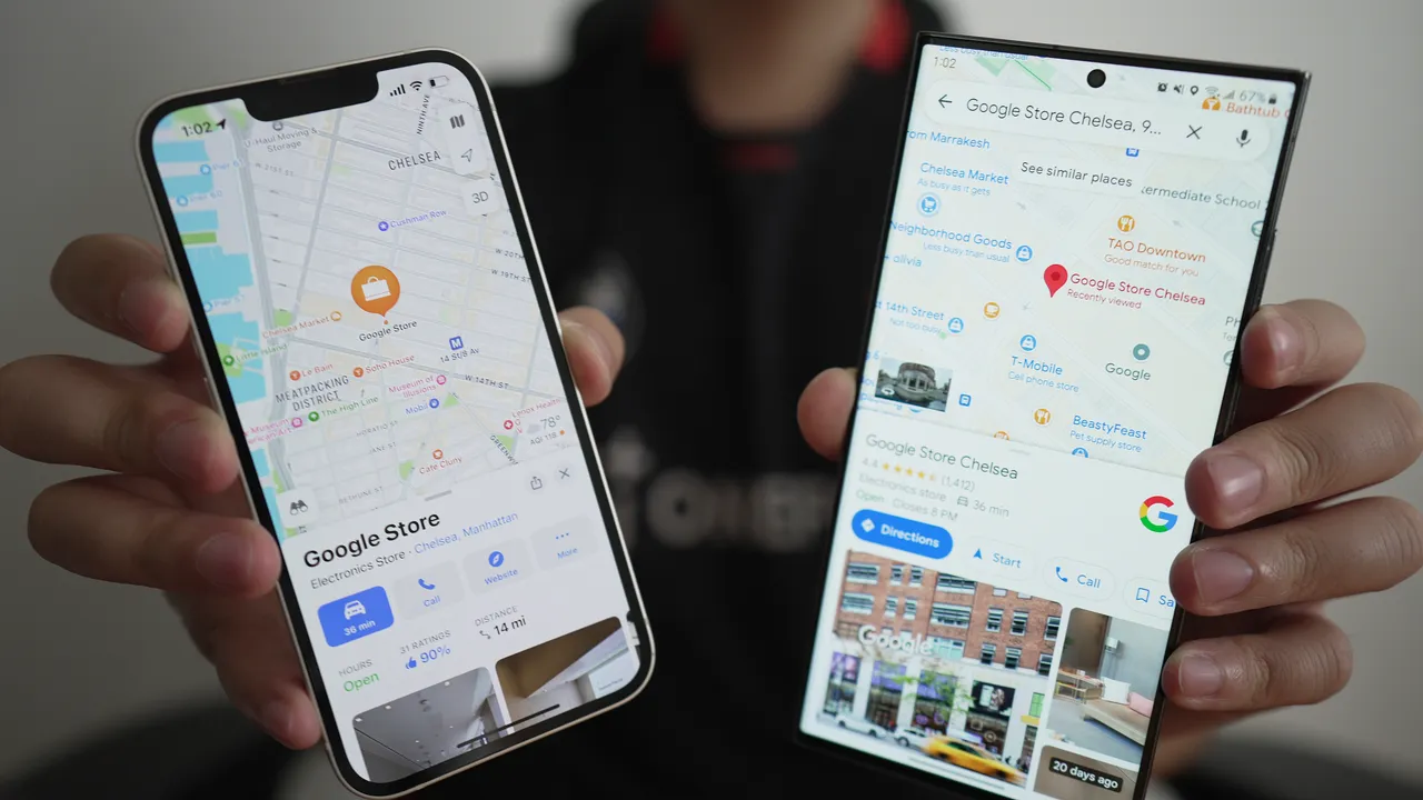
The Google Maps SDK (Software Development Kit) offers specific libraries for Android and iOS platforms. Making it easier to incorporate Google Maps into mobile applications. For Android, the Google Maps SDK for Android provides developers with tools to embed interactive maps. Add markers, and implement location-based features. On iOS, the Google Maps SDK for iOS delivers similar functionalities, enabling developers to create engaging map experiences. Specifically tailored to Apple devices. Both SDKs support features such as custom map styling, user location tracking, and map overlays, ensuring a consistent and high-quality navigation experience across platforms.
Real-Time Location Tracking
One of the core features of integrating Google Maps into mobile apps is real-time location tracking. By utilizing the Google Maps API, developers can access the device’s GPS data to display the user’s current location on the map. This functionality is essential for apps that offer navigation services, delivery tracking, or location-based recommendations. Real-time location tracking enables users to see their position relative to their destination, receive turn-by-turn directions, and make informed decisions based on their current location.
Custom Map Markers and Overlays
Custom map markers and overlays allow developers to enhance the map experience by adding unique visual elements. Markers can represent points of interest, user locations, or specific destinations. While overlays can display additional information such as routes, regions, or custom shapes. By integrating Google Maps APIs, developers can create customized map markers with specific icons, colors, and labels, making it easier for users to identify key locations. Overlays can be used to highlight areas of interest, show routes, or provide contextual information, improving the overall navigation experience.
Route Optimization and Navigation
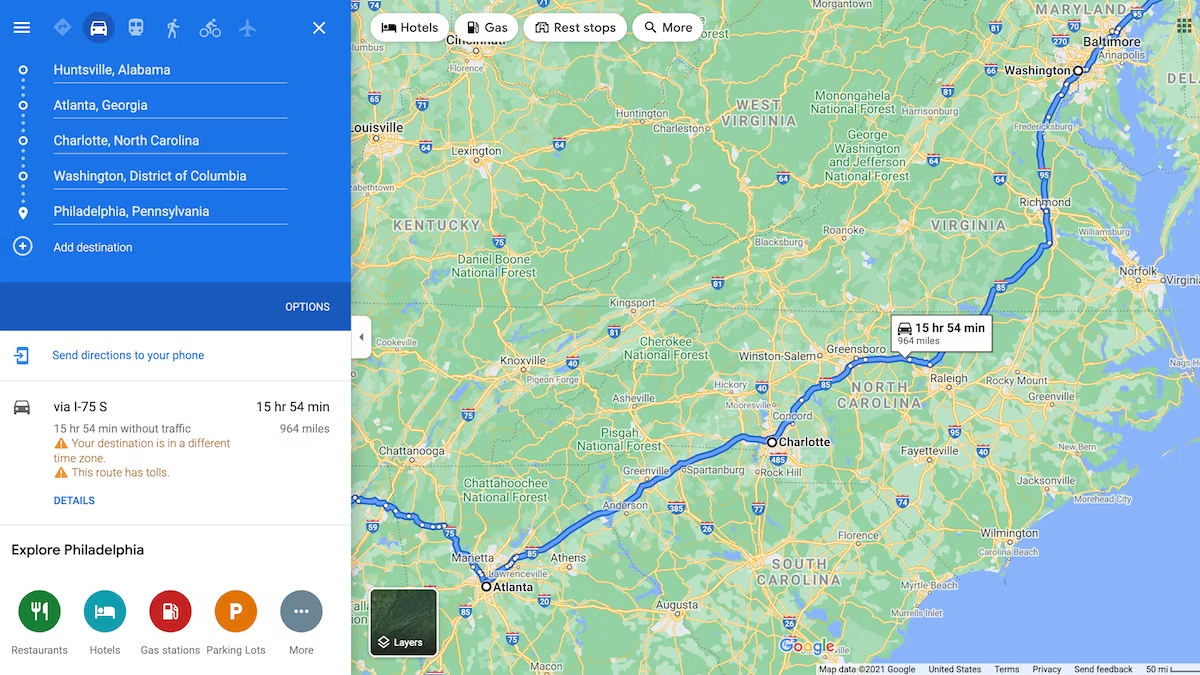
The Google Maps Directions API provides route optimization and navigation features that are crucial for mobile apps. Offering travel or delivery services. This API allows developers to calculate the best route between two or more locations, taking into account factors such as traffic conditions, distance, and travel time. By integrating route optimization, apps can offer users the most efficient path to their destination, reducing travel time and improving overall satisfaction. Navigation features, including turn-by-turn directions and real-time traffic updates, help users navigate complex routes and avoid delays.
Geofencing and Location-Based Alerts
Geofencing is a powerful feature that allows apps to trigger location-based alerts when users enter or exit predefined areas. By integrating Google Maps APIs with geofencing capabilities, developers can create apps that send notifications . Offer special deals based on the user’s location. For example, a retail app might notify users of a discount when they enter a store’s vicinity, or a travel app could suggest nearby attractions as users approach a landmark. Geofencing enhances user engagement by providing timely and relevant information based on real-time location data.
Offline Maps and Navigation
Offline mobile maps and navigation are essential for users who need access to map data without a constant internet connection. Google Maps offers offline functionality that allows users to download map areas and access them when offline. For mobile apps, integrating offline map capabilities ensures that users can still navigate and access important location information even when they are in areas with poor or no network coverage. Developers can leverage the Google Maps Offline API to provide users with downloadable map regions and offline navigation options, improving the app’s usability in various scenarios.
Conclusion
Integrating Google Maps with mobile apps enhances navigation and user experience. By providing interactive maps, real-time location tracking, and route optimization. By leveraging Google Maps SDKs and APIs, developers can create seamless and engaging mobile applications that cater to a wide range of user needs, from travel and delivery services to location-based alerts and offline navigation. Incorporating Google Maps into your mobile app ensures that users have access to reliable and feature-rich navigation tools, making their overall experience more enjoyable and efficient.


