Google Maps Data Layer styling in JavaScript offers powerful customization options for displaying geographic data on maps. This article explores various strategies to effectively style and enhance the presentation of data layers using Google Maps API.
Introduction to Google Maps Data Layer Styling
Google Maps Data Layer Styling in JavaScript allows developers to manipulate and customize the appearance of geographical data displayed on maps. It provides flexibility in styling features such as markers, polygons, polylines, and more to match specific application requirements.
Understanding the Basics of Data Layer Styling
Before diving into advanced strategies, it’s essential to grasp the foundational aspects of Google Maps Data Layer styling. The Data Layer API enables developers to add and manage complex geographic data layers with ease, enhancing visualization and interaction capabilities.
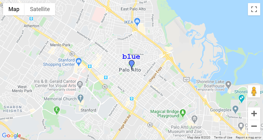
Applying Custom Styles to Markers
Markers are essential elements for indicating specific locations on a map. Using JavaScript, developers can apply custom icons, colours, and animations to markers within the Data Layer. This customization ensures markers are visually distinct and aligned with the application’s design language.
Styling Polygons and Polylines
Polygons and polylines represent areas and routes on a map, respectively. JavaScript enables developers to define stroke colours, fill colours, opacity levels, and stroke widths for these geometric shapes within the Data Layer. This control ensures clarity and emphasis on different map features.
Using Event Listeners for Interactive Styling
Event listeners in JavaScript facilitate interactive styling of Data Layer elements based on user actions. For instance, developers can change the appearance of markers or polygons when users hover over or click on them, enhancing user engagement and map interactivity.
Dynamic Styling Based on Data Attributes
Dynamic styling involves adjusting the appearance of Data Layer features based on underlying data attributes. JavaScript allows developers to programmatically modify styles, such as colour gradients for heatmaps or thematic mapping based on data values, providing meaningful visual insights.
Implementing Clustering for Enhanced Visualization
In scenarios with a large number of markers, clustering helps improve map readability and performance. JavaScript libraries integrated with Google Maps API enable developers to cluster markers dynamically based on proximity, displaying summarized information while maintaining visual clarity.
Optimizing Performance and Rendering Speed
Efficient styling practices contribute to the optimal performance of maps with Data Layers. Techniques such as batch processing, asynchronous loading of data, and minimizing DOM manipulations help maintain smooth rendering and responsiveness, especially with complex datasets.
Cross-Browser Compatibility and Support
Ensuring compatibility across different web browsers is crucial for a seamless user experience.
Accessibility Considerations and Best Practices
Accessibility guidelines recommend providing alternative text descriptions for Data Layer elements and ensuring interactive features are keyboard accessible. JavaScript implementations should prioritize inclusive design principles to accommodate diverse user needs.
Testing and Debugging Data Layer Styling
Thorough testing is essential to validate Data Layer styling implementations across various devices and user scenarios. JavaScript debugging tools and browser developer consoles aid in identifying and resolving styling errors or performance bottlenecks efficiently.
Security Measures and API Usage Policies
Adhering to Google Maps API usage policies and implementing secure coding practices are imperative for protecting user data and ensuring compliance with platform guidelines. JavaScript implementations should prioritize data privacy and API key management to mitigate risks.
Conclusion
In conclusion, mastering Google Maps Data Layer styling in JavaScript empowers developers to create visually compelling and interactive map applications. By leveraging custom styling techniques, optimizing performance, and adhering to best practices, developers can enhance user experiences and effectively communicate geographical information.