Google Maps has come a long way since its inception. From simple maps designed to get you from point A to point B, it has evolved into an indispensable tool that offers real-time traffic updates, satellite imagery, and the immersive Street View experience. This evolution has transformed how we navigate and explore the world. Let’s take a journey through the key milestones in the development of Google Maps.

The Birth of Google Maps
Google Maps was launched in 2005, revolutionizing digital navigation. Initially, it provided users with basic map functionalities, including directions, distance calculations, and point-of-interest searches. The early version featured a clean, user-friendly interface that set the stage for its rapid growth.
The Addition of Satellite Imagery
In 2005, Google introduced satellite imagery to Google Maps, allowing users to view real-world images of locations from above. This feature provided a more comprehensive understanding of geography and was particularly useful for planning trips and exploring unfamiliar areas. The integration of satellite images marked a significant leap in the detail and usability of Google Maps.
Real-Time Traffic Updates
Google Maps began offering real-time traffic updates in 2007, providing users with live information about traffic conditions. This feature helped users avoid congestion and find the fastest routes to their destinations. The traffic updates were initially based on data from road sensors and traffic cameras, but they have since been enhanced with data from mobile devices and other sources, making them more accurate and reliable.
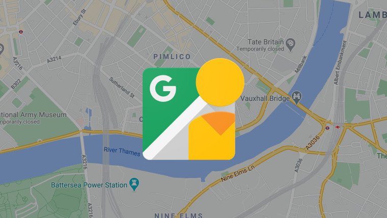
Street View: A New Perspective
One of the most groundbreaking features of Google Maps is Street View, launched in 2007. Street View allows users to explore locations at ground level with 360-degree panoramic images. This innovation provided a virtual experience of being at a location, helping users familiarize themselves with places before visiting. The initial rollout of Street View covered a few major cities, but it has since expanded to include remote areas and off-the-beaten-path destinations.
Integration with Google Earth
In 2008, Google Maps integrated with Google Earth, combining the detailed maps and directions of Google Maps with the 3D imaging capabilities of Google Earth. This integration allowed users to explore the world in three dimensions, offering a more immersive and interactive experience. The collaboration also enabled users to view topographic details and natural features, enhancing the utility of Google Maps for outdoor enthusiasts and researchers.
Indoor Maps and Floor Plans
In 2011, Google Maps expanded its reach indoors by introducing indoor maps and floor plans for airports, shopping malls, and other large venues. This feature helped users navigate complex indoor environments and find specific locations within buildings. Indoor maps have since become an essential tool for travelers and shoppers, providing detailed guidance in places where GPS signals might be weak.
The Mobile Revolution
With the proliferation of smartphones, Google Maps became a vital mobile application. The mobile version of Google Maps introduced turn-by-turn navigation, voice guidance, and offline maps, making it an indispensable tool for drivers, cyclists, and pedestrians. The app’s ability to function offline is particularly useful for travelers in areas with limited internet connectivity.
Personalized Maps and Recommendations
Google Maps has also evolved to provide personalized recommendations based on user preferences and behavior. By analyzing search history, location data, and user reviews, Google Maps can suggest restaurants, attractions, and events tailored to individual tastes. This personalization enhances the user experience, making it easier to discover new and interesting places.
The Role of AI and Machine Learning
Artificial intelligence and machine learning have played a significant role in the ongoing evolution of Google Maps. These technologies have improved the accuracy of maps, enhanced real-time traffic predictions, and enabled features like live view, which uses augmented reality to provide real-time navigation guidance. AI and machine learning continue to drive innovation, making Google Maps smarter and more intuitive.
The Future of Google Maps
Looking ahead, Google Maps is poised to continue its evolution with advancements in augmented reality, real-time data integration, and personalized experiences. As technology progresses, we can expect even more immersive and interactive features that will further transform how we navigate and explore the world.
Conclusion
The journey of Google Maps from simple digital maps to the comprehensive tool it is today highlights the incredible advancements in technology and data integration. With each new feature, Google Maps continues to enhance our ability to navigate and explore, making the world more accessible and connected than ever before.