Google Maps is an invaluable tool for planning outdoor adventures, offering detailed information on countless trails and natural sites. Whether you’re looking for a challenging hike, a scenic bike ride, or a peaceful nature walk, Google Maps can help you discover the perfect trail. By using the search function and filtering options, you can locate trails that match your skill level and interests, complete with user reviews and photos to guide your decision.

Planning Your Route
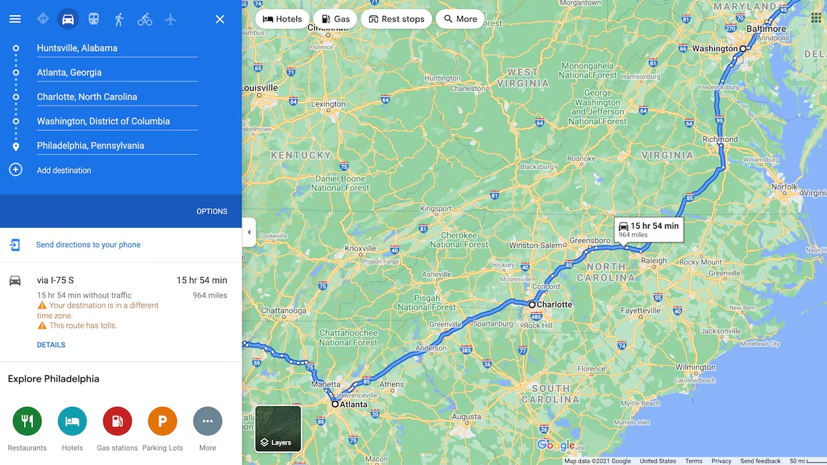
Once you’ve selected a trail, Google Maps makes it easy to plan your route. You can view the trail’s length, estimated travel time, and elevation changes, ensuring you’re well-prepared for the journey ahead. The map’s satellite and terrain views provide a clear picture of the landscape, helping you anticipate any potential obstacles. Additionally, you can save your route and access it offline, which is particularly useful in areas with limited cell service.
Exploring Nearby Attractions
In addition to trails, Google Maps can help you discover nearby attractions that can enhance your adventure. From waterfalls and viewpoints to campsites and picnic areas, the map highlights various points of interest that you might want to visit. This feature allows you to create a comprehensive adventure plan, making the most of your time outdoors. User reviews and photos offer insights into what to expect, helping you decide which spots are worth visiting.
Safety and Preparation
Safety is a crucial aspect of any outdoor adventure, and Google Maps provides tools to help you prepare. By checking the weather forecast and real-time conditions along your route, you can dress appropriately and pack necessary gear. The map also shows the locations of emergency services and shelters, which can be vital in case of unexpected situations. Furthermore, sharing your planned route with friends or family using Google Maps ensures someone knows your whereabouts.
Customizing Your Adventure
Google Maps allows you to customize your adventure to suit your preferences. You can create custom maps, marking specific trails, waypoints, and points of interest that are important to you. This feature is particularly useful for planning multi-day trips or complex routes. You can also use Google Maps’ integration with other apps and services, such as Google Earth, to get a more detailed view of your planned adventure.
Staying Updated with Real-Time Information
Real-time information is a key feature of Google Maps that enhances your outdoor adventure planning. Traffic updates, road closures, and changes in trail conditions can be monitored through the app, ensuring you’re always aware of any developments that might affect your trip. This dynamic information allows you to adjust your plans on the go, making your adventure more flexible and enjoyable.
Conclusion
Using Google Maps for outdoor adventure planning provides a comprehensive and user-friendly way to explore nature. From finding the perfect trail and planning your route to ensuring safety and discovering nearby attractions, Google Maps offers a wealth of tools to enhance your outdoor experiences. By leveraging its features, you can create well-prepared, enjoyable, and memorable adventures in the great outdoors.


