Adding Google Maps layers with JavaScript can significantly enhance the functionality and interactivity of your web applications. In this article, we’ll explain in detail how to add various layers to your Google Maps using JavaScript. By the end of this article, you will know how to effectively integrate these layers to create more dynamic maps.
Adding Traffic Layer
The Traffic Layer is useful for displaying real-time traffic conditions. It’s beneficial for applications that provide navigation or route planning services.
Implementing Transit Layer
The Transit Layer shows public transportation lines and stations. This is particularly useful for urban areas where users need to find nearby bus stops, subway stations, and other transit options. Adding this layer helps users plan their journeys more efficiently.
Incorporating Bicycle Layer
For applications focusing on cycling routes, the Bicycle Layer can be very useful. It highlights bike paths and recommended cycling routes, making it easier for cyclists to plan their trips.
Overlaying Weather Layer
The Weather Layer provides real-time weather conditions and forecasts. This can be particularly useful for travel and outdoor event planning applications. Users can see the current weather along their route or at their destination, allowing them to make informed decisions.
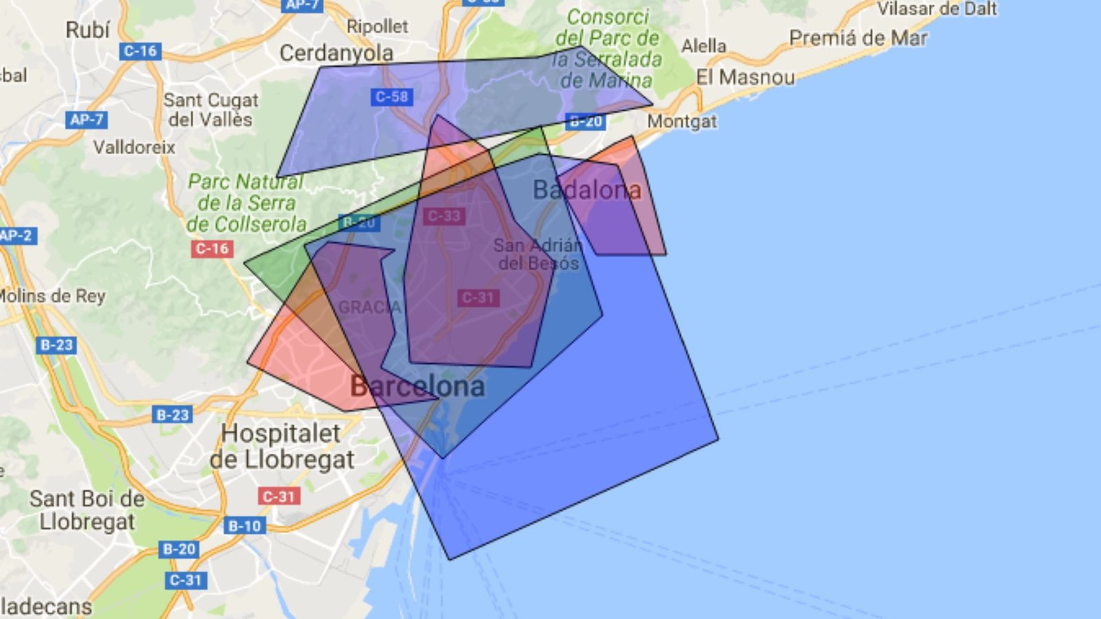
Adding Custom Layers
Custom layers allow you to add your data to the map. This can include anything from markers representing specific locations to complex shapes outlining certain areas. Custom layers are powerful for applications that need to display specific data relevant to their users.
Incorporating Heatmaps
They are particularly useful for showing the density of occurrences, like crime rates or sales data, across a region. This visual representation helps users quickly understand where the most significant activity is happening.
Using KML Layers
KML (Keyhole Markup Language) layers allow you to display geographic data from KML files. This is useful if you have large datasets already formatted in KML. You can easily integrate this data into your Google Maps, providing a rich source of information.
Adding Fusion Tables
Fusion Tables lets you manage and display large datasets. You can use Fusion Tables to store data and then visualize it on your map. This is particularly useful for applications that require managing and displaying extensive sets of geographic data.
Overlaying Tile Layers
Tile Layers lets you add custom map tiles to your map. These tiles can display anything from satellite imagery to custom maps. This is beneficial if you need to provide a different view of the map that Google Maps doesn’t natively support.
Incorporating GeoJSON Layers
GeoJSON is a format for encoding geographic data structures. Adding GeoJSON layers allows you to display complex data like polygons and multipoint shapes directly on your map. This is useful for applications that need to show detailed geographic information.
Displaying Data Layers
Data Layers let you add individual points, lines, and polygons to your map. This is useful for applications that need to display specific data points or routes. You can style these layers to match your application’s look and feel.
Using Image Map Types
Image Map Types allow you to overlay images on your map. This feature is useful for applications that need to display custom graphics on their maps.
Adding Ground Overlays
Ground Overlays let you place an image on the map aligned to specific coordinates. This is useful for adding additional context to certain areas on your map. Ground overlays can include anything from simple images to complex diagrams.
Incorporating Street View
Street View layers provide panoramic views from positions along streets. This is useful for applications that need to give users a real-world view of locations. Adding Street View can enhance navigation and location-based services.
Using Styled Maps
Styled Maps allow you to customize the look of the map. You can change colours, hide certain features, and adjust the overall appearance to match your brand or the specific needs of your application. This customization helps create a more cohesive user experience.
Conclusion
Incorporating Google Maps layers with JavaScript enhances the functionality and user experience of your applications. By understanding and utilizing these different layers, you can provide more detailed and interactive maps. Whether you’re adding traffic data, custom overlays, or weather conditions, each layer offers unique benefits. Start experimenting with these layers to see how they can improve your web applications.