In the competitive real estate market, visibility and user experience are crucial for attracting potential buyers and renters. Google Maps offers powerful tools and features that can significantly enhance real estate listings and virtual tours. By integrating Google Maps, real estate agents and platforms can provide detailed property insights, improve accessibility, and create engaging, interactive experiences for clients. This article explores how to leverage Google Maps for real estate listings and tours, highlighting key benefits and implementation strategies.

Enhancing Property Listings with Google Maps
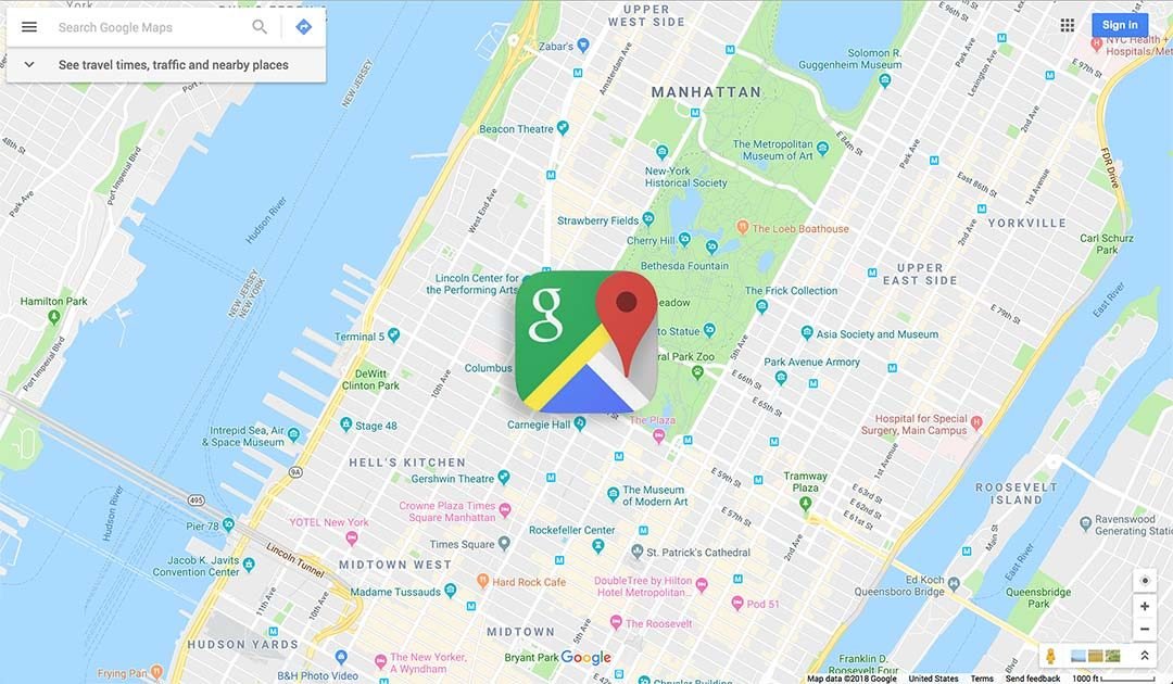
Integrating Google Maps into property listings allows potential buyers to visualize the location and surroundings of a property. By embedding Google Maps, real estate agents can display the exact location of a property, providing context and a sense of place. This feature helps clients understand the property’s proximity to essential amenities such as schools, shopping centers, parks, and public transportation. Detailed location information enhances the appeal of listings and helps clients make informed decisions.
Street View for Immersive Experiences
Google Maps Street View offers an immersive, 360-degree visual experience of the property’s neighborhood. By integrating Street View, real estate listings can provide virtual tours of the surrounding area, showcasing the neighborhood’s look and feel. This feature is particularly beneficial for clients who are relocating from distant locations and cannot visit the property in person. Street View allows clients to explore the area virtually, gaining a better understanding of the neighborhood and its amenities.
Creating Custom Property Tours
Google Maps can be used to create custom property tours, guiding clients through multiple properties or highlighting key features of a single property. By utilizing Google Maps API, real estate agents can design interactive tours that include routes, descriptions, and multimedia content. These custom tours provide a structured and engaging way for clients to explore properties, either virtually or in person. Custom tours enhance the viewing experience, making it easier for clients to navigate and compare different properties.
Visualizing Property Boundaries with Polygon Overlays
For larger properties or land listings, visualizing property boundaries can be challenging. Google Maps allows real estate agents to use polygon overlays to outline property boundaries accurately. This feature provides clients with a clear visual representation of the property’s size and layout. Polygon overlays are particularly useful for rural properties, agricultural land, or commercial real estate, where boundary visualization is critical for understanding the property’s scope and potential.
Incorporating Local Area Information
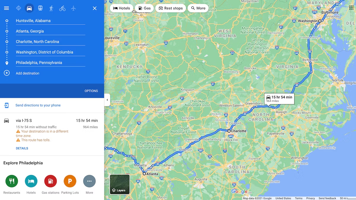
Google Maps can display various layers of local area information, such as traffic conditions, public transit routes, and points of interest. By incorporating these layers into real estate listings, agents can provide comprehensive information about the property’s location. Clients can assess factors like commute times, accessibility to public transportation, and nearby amenities. This detailed local area information adds value to the listings and helps clients evaluate the property’s convenience and desirability.
Optimizing Mobile Experience
With the increasing use of mobile devices for property searches, optimizing the mobile experience is essential. Google Maps is mobile-friendly and can be seamlessly integrated into real estate platforms and mobile apps. This integration ensures that clients can access interactive maps and property tours on their smartphones and tablets. A mobile-optimized experience enhances accessibility and engagement, allowing clients to explore properties anytime, anywhere.
Enhancing Marketing Strategies with Data Insights
Google Maps provides valuable data insights that can inform and enhance real estate marketing strategies. By analyzing map data, real estate agents can identify trends and patterns in property searches, such as popular areas and frequently viewed properties. These insights can help agents tailor their marketing efforts, focusing on high-demand locations and highlighting sought-after property features. Data-driven marketing strategies increase the effectiveness of real estate campaigns and improve client targeting.
Conclusion
Leveraging Google Maps for real estate listings and tours offers numerous benefits, from enhanced property visualization and immersive neighborhood experiences to custom tours and detailed local information. By integrating Google Maps, real estate agents can create engaging, informative, and accessible listings that attract and retain clients. The use of Google Maps not only improves the user experience but also provides valuable data insights that can drive effective marketing strategies. In a competitive real estate market, Google Maps is a powerful tool that can set listings apart and facilitate successful property transactions.